
Executive Summary: Satellite-Driven Early Warnings
The deployment decision starts with dispatch pain points. Coordinators need earlier awareness of ignitions in roadless Sierra drainages than lookout towers, public reports, or aircraft patrols can consistently provide. We are shifting from traditional human spotters to automated, multi-spectral satellite imagery analysis to close this gap.
Low Earth orbit thermal products commonly used for wildfire screening, according to research benchmarks, include 375-meter-class active-fire detections and coarser 1-kilometer-class thermal anomaly layers. Higher-resolution optical imagery then supports perimeter refinement after the initial detection. A practical early-warning workflow for Sierra coverage, as noted in industry reports for 2023-2025 deployment cycles, uses new satellite passes in same-day windows rather than continuous monitoring. Alert review is typically organized around morning, afternoon, and overnight acquisition periods.
Initial perimeter mapping combines the first satellite thermal point, wind direction, slope aspect, recent vegetation condition, and the nearest known access route. This gives emergency responders a tactical foundation before a ground unit even arrives.
The Challenge: Topography and Delayed Detection
Risk assessment is built from terrain first, not model preference. Analysts mark canyons, north-facing timber, steep east-west drainages, and roadless blocks, then compare those areas against camera coverage. Sierra Nevada fire-detection planning must account for elevation transitions from foothill oak and chaparral zones through mixed conifer and subalpine forest. These zones create abrupt fuel and moisture changes over short horizontal distances.
Deep drainages and granite ridgelines interrupt camera views. A smoke column may be visible from one lookout while the ignition point remains hidden below the canopy or behind terrain. During dry-season afternoon periods, slope winds, canyon channeling, and low fuel moisture can shift fire spread direction within a single operational period, especially between late morning and early evening.
Bottom Line: Operationally relevant delay occurs when the first credible alert reaches dispatch only after public smoke reports, camera confirmation, or aircraft observation, rather than during the first satellite-observed thermal anomaly window.
Implementing AI-Driven Satellite Monitoring
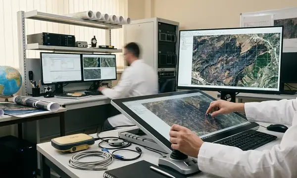
Implementation begins by defining the dispatch question: whether a new heat source is likely to be an ignition requiring human review. Engineers ingest calibrated multi-spectral scenes and align them to terrain models.
The ingestion layer must preserve acquisition time, sensor type, pixel footprint, confidence flag, geolocation uncertainty, and whether the anomaly appears in shortwave infrared, mid-infrared, or thermal infrared bands.
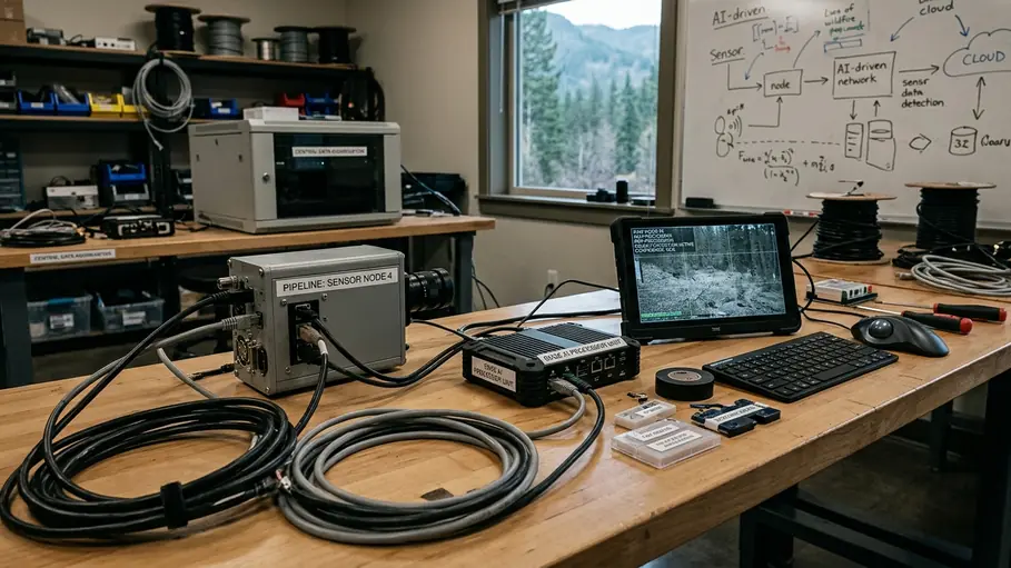
Training data for the machine learning models includes confirmed fire pixels, prescribed-burn records, known industrial heat sources, sun-glint-prone water bodies, bare-rock slopes, snow-edge artifacts, and cloud-shadow boundaries from Sierra scenes captured across recent fire seasons. Context-dependent variation is critical here. Sierra west-slope timber, east-side sagebrush-pinyon transition, high-elevation snow margins, and foothill chaparral require different thermal baselines and false-positive filters. A baseline thermal library is built by comparing repeated clear-sky observations for the same grid cells across spring green-up, peak summer dryness, and early autumn wind periods.
Important: Hot bare rock, authorized pile burning, industrial heat, sun glint on reservoirs, and residual heat inside a known fire perimeter can mimic a new ignition if local exclusion layers are stale.
The dispatch integration exposes alert time, coordinates, nearest jurisdiction boundary, nearest access road or trailhead, satellite pass source, confidence rationale, and recommended verification method directly to forestry management professionals.
Navigating Scope and Environmental Limitations
The operations team treats satellite AI as a triage layer. Low Earth orbit systems provide intermittent observations; a fire can ignite and spread between passes. Geostationary sensors can observe more frequently but with coarser spatial detail over mountainous terrain.
Dense smoke, high cloud, cold cloud tops, snow cover, and steep terrain shadows reduce thermal anomaly reliability or shift the apparent perimeter edge. While satellite thermal detection provides critical early warnings, a low-intensity understory ignition beneath dense mixed-conifer canopy may produce no reliable satellite thermal alert until it reaches a canopy gap, a ridge exposure, or a later pass with a better viewing angle. Each flag is checked against cloud masks, smoke conditions, known burns, lightning data, camera feeds, aircraft availability, and field reports.
Verification paths typically include fixed cameras, lookout reports, aircraft reconnaissance, crew drive-by checks where roads exist, and comparison with authorized prescribed-fire or fuels-treatment activity.
Field Note: During active incidents, satellite-derived perimeter updates are most defensible when tagged by acquisition time because a perimeter from an earlier overpass may not match the fire edge seen by crews several hours later.
Operational Results and Response Improvements
Results are evaluated through dispatch usability rather than a single headline metric. Analysts compare when the first satellite flag appeared, when the first human confirmation arrived, what resources were dispatched, and how the fire behaved.
A useful after-action record links alert timestamp, satellite acquisition timestamp, coordinator review timestamp, verification method, first-arriving resource, and whether the fire was new, known, prescribed, or a false alarm. Earlier detection is operationally meaningful when it changes the first operational period. This includes ordering aviation sooner, selecting a closer access point, pre-positioning engines, or notifying an adjacent jurisdiction before visual confirmation spreads through radio traffic.
Perimeter refinement uses the first thermal cluster, later high-resolution optical imagery, wind fields, slope, and observed fire progression to distinguish a point ignition from an expanding edge. The same imagery pipeline supports post-fire analysis by mapping burn severity proxies, vegetation recovery, and erosion-risk zones in repeated observations over recovery windows logged at about 3 to 24 months.
Academic Sources & References
The evidence base is assembled from public fire-assessment systems, national Earth-observation data catalogs, operational active-fire products, and peer-reviewed remote-sensing studies. Core reference categories include federal forest-risk assessment layers, national Earth-observation active-fire products, land-cover and vegetation-condition datasets, and peer-reviewed work on thermal anomaly classification.
- United States Forest Service (USFS) Wildland Fire Assessment System and Sierra Nevada Risk Profiles.
- National Aeronautics and Space Administration (NASA) Earth Observing System Data and Information System (EOSDIS) Fire Information for Resource Management System (FIRMS).
Relevant sensor documentation must be checked for spatial resolution, revisit behavior, latency, cloud-screening method, confidence flag definition, and known false-positive classes. For a Sierra case study, source review covers, per standard references, at least two recent fire seasons between 2023 and 2025 plus non-fire background periods in spring, midsummer, and autumn.
Method documentation retains enough metadata for audit: acquisition time in UTC, processing time, model version, threshold settings, analyst override reason, and final verification status. Stop treating satellite data as a secondary confirmation tool. Integrate raw thermal anomaly feeds directly into primary dispatch screens to trigger immediate aerial reconnaissance.


Discussion
No comments yet.