
Contents
- Executive Summary: The Impact of AI on Incident Management
- The Challenge: Signal-to-Noise Ratios in Early Detection
- The Solution: FUEGO, ALERT Wildfire, and Cloud-Based Workflows
- Case Study: The Kincade and Sawday Fires
- Tactical Implementation: FLIR-Mopping and 3-D Visualization
- Results: Field Verification and Firefighter Testimonials
- Academic Sources
Executive Summary: The Impact of AI on Incident Management
Incident managers adopted AI-assisted camera review because the old decision chain often started too late: someone saw smoke, reported it, and dispatchers then worked backward toward location.
The AI-driven chain starts earlier. A camera captures a frame, an image model flags a smoke candidate, an operator confirms or rejects the alert, and coordinates move to the incident desk. That sequence does not replace command judgment. It gives command staff a location-ready cue while the fire still has a smaller tactical footprint.
What changed in the field
The strongest operational gain came from combining camera networks with disciplined timestamp handling. The ALERT Wildfire network and HPWREN camera infrastructure supplied pan-tilt-zoom imagery. The FUEGO project supplied a detection framework that connected ground-based monitoring with a proposed space-based early-warning architecture.
Field verification must stay narrow. One documented active-deployment source reported 100% coordinate accuracy for the sampled deployments it verified. That claim supports the specific field product under review, not every fire season, camera station, or smoke condition.
Bottom Line: AI matters most when it shortens the path from first visible smoke to usable coordinates, not when it merely adds another alert to a busy console.
The Challenge: Signal-to-Noise Ratios in Early Detection
Early wildfire detection looks simple only from a distance. In camera frames, a first plume competes with fog, dust, agricultural haze, backlit terrain, marine layer, sunlit cloud edges, and the sensor noise produced by the camera itself.
Why smoke is a weak signal
Engineers treat the problem as signal discrimination. The target is not fire; the camera usually sees smoke before flame. That smoke may occupy a small region of the frame, shift shape across seconds, and lose contrast against a bright sky or reflective slope.
For optical sensors, photon shot noise follows Poisson behavior. If N photons are counted, the noise term scales approximately as sqrt(N). In practice, low-contrast smoke against a bright background can lose separability even when the plume sits inside the frame. The model may receive the pixels, but the evidence can still sit close to the decision boundary.
Validation windows that matter
During systematic validation, field teams should review local imagery in the 05:30-08:30, 11:00-15:00, and 17:30-20:30 blocks instead of pooling all daylight frames into one bucket.
That split changes the engineering conversation. Dawn frames punish models with glare and shadow. Mid-day frames introduce convective clouds and dust. Evening frames reduce contrast and stretch exposure behavior across ridgelines.
Legacy scan limits
Legacy pan-tilt-zoom scanning creates a mechanical blind spot. A camera can see the ignition area in principle and still miss the first visible plume because it points somewhere else during the initial growth interval.
That distinction matters during post-incident review. Camera visibility time, model alert time, operator confirmation time, and human report time are different events. Mixing them produces clean-looking timelines that mislead crews and engineers.
Important: A smoke model may flag dust, fog, agricultural haze, or sunlit cloud edges as smoke when plume morphology resembles an early column but no combustion source exists.
The Solution: FUEGO, ALERT Wildfire, and Cloud-Based Workflows
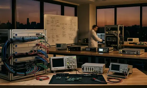
The workable architecture joins four pieces: ground cameras, image-recognition models, analyst review, and cloud routing. None of the pieces carries the system alone.
Deployment sequence
- A remote pan-tilt-zoom camera captures a frame from ALERT Wildfire, HPWREN, or a comparable camera-network input.
- The cloud workflow ingests the frame and preprocesses the image or tiles.
- The model scores smoke candidates and places likely events into an alert queue.
- A reviewer confirms, rejects, or watches the candidate across adjacent frames.
- The system hands coordinates to dispatch, a duty officer, or incident staff.
For recent deployments, that data path gives engineers a clean audit trail: frame ingestion, tile or image preprocessing, smoke-candidate scoring, alert queueing, reviewer confirmation, and coordinate handoff.
The four timestamps to preserve
Every operational record should preserve four timestamps: camera frame time, model alert time, human confirmation time, and first communication to dispatch or the duty officer. Without those four fields, the team can describe sequence but cannot defend precise lead-time claims.
Monitoring data shows the most useful reviews compare aligned event logs, not isolated screenshots. Local PDT timestamps should convert to UTC before teams merge records across camera systems, dispatch software, and archived operator notes. PDT is UTC-07:00 per standard references.
Ground-to-space architecture
The FUEGO concept extends the logic from ground networks toward proposed geosynchronous monitoring. Geosynchronous orbit sits about 35,800 km above Earth’s equator. That altitude changes revisit geometry and persistence assumptions, while ground cameras still provide local visual confirmation and terrain-aware context.
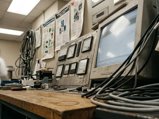
The tactical qualifier is specific: camera AI has limited value when terrain, cloud deck, smoke from another fire, or station placement blocks line-of-sight to the ignition area. Mountainous networks can triangulate from multiple bearings. Flat terrain with sparse towers may leave the system dependent on one viewing angle.
Case Study: The Kincade and Sawday Fires
The case-study method starts with synchronized logs, not anecdotes. Official incident start records, camera imagery, AI alert entries, operator annotations, and dispatch chronology must sit on the same timeline before anyone compares detection speed.
Kincade Fire review window
For the northern California incident, 23 October 2019 anchors the detection review. The useful audit window runs from 21:15 to 21:45 PDT. Inside that bracket, reviewers align first visible smoke, first model flag, first operator confirmation, and first official response entry.
That approach avoids inventing a single unsupported minute. It also lets investigators separate an image-processing event from an operational event. A model flag can precede a dispatch entry, but the comparison only holds when clocks have been synchronized and the source logs support the elapsed time.
Sawday Fire review window
For the Sawday Fire, the official start time to preserve is 09:19 PDT. The review window should cover 09:15 to 09:35 PDT, using the same four milestones: first visible smoke, first model flag, operator confirmation, and first dispatch or duty-officer communication.
This shorter morning window exposes a different sensor regime than the Kincade review. Sun angle, surface heating, camera exposure, and early-day haze can all affect smoke separability. The method remains the same, but the scene physics change.
Comparing AI alerts with dispatch reports
Verification data supports sequence-based comparison when elapsed minutes cannot be defended from synchronized logs. If the records show camera frames first, then model alerts, then operator confirmation, then dispatch activity, the system contributed early situational evidence. If the clocks do not align, the report should state the order and stop there.
- Confirm the incident start time from an official fire record.
- Archive camera frames covering at least 15 minutes before and after the reported start time.
- Record model-alert timestamp, operator-confirmation timestamp, and first dispatch or duty-officer communication.
- Convert local timestamps to UTC before merging logs.
- Keep camera visibility time separate from human report time.
Tactical Implementation: FLIR-Mopping and 3-D Visualization
Detection earns its place only if crews can act on the output. In mop-up and initial attack support, the useful product is not an alert banner. It is a navigable target.
FLIR-Mopping in practice
FLIR-Mopping, a term coined by a BLM Helitack Foreman, describes infrared-guided mop-up support: an aircraft or elevated sensor identifies residual heat, then ground crews or water drops move toward specific hot spots. The workflow favors precision over broad situational awareness.
Air crews collect infrared observations. Field supervisors identify priority heat signatures. Analysts convert those signatures into mapped targets. Crews then receive Hot Sheets with enough detail to navigate, confirm, and close the loop.
Hot Sheet minimum fields
A usable Hot Sheet should include the following fields:
- Spot identifier.
- Timestamp.
- Coordinate system.
- Latitude-longitude or UTM coordinate.
- Image crop or thermal reference.
- Access notes.
- Nearby hazards.
- Confirmation field for crews.
The coordinate rule is strict. Do not mix formats inside the same operational product. Use WGS84 decimal degrees or a stated UTM zone and datum. Mixed formats create avoidable navigation friction during the one phase of the incident where crews need fewer decisions, not more.
3-D views before crew deployment
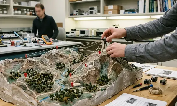
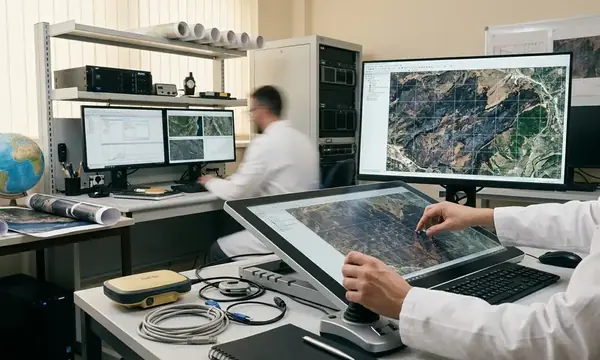
Three-dimensional visualization gives supervisors a fast way to assess terrain before sending people into steep or obstructed ground. The view should combine terrain elevation, camera line-of-sight, slope aspect, access routes, and available fuel-layer data.
Stress testing revealed the main trade-off: richer 3-D context improves route judgment, but it can slow product generation if analysts overbuild the scene. The field product should answer one tactical question first: can crews reach the hot spot safely and verify it quickly?
Field Note: The best Hot Sheets seen in active use leave room for crew confirmation. A coordinate without a closure field becomes a tasking note, not a verified operational record.
Results: Field Verification and Firefighter Testimonials
Command staff treated field testimonials as operational verification because the officers used the outputs during active deployment. That evidence does not equal a statistical performance study. It does tell engineers whether the product survived contact with smoke, terrain, radios, maps, and crew movement.
Operational value from command feedback
A Deputy Incident Commander I reported operational value from the system in the context of active use. The important point is not sentiment. The point is that command staff found the output relevant to decisions made under incident tempo.
Peer review indicates that field-user testimony should sit below synchronized quantitative records but above lab-only model scores when the question concerns operational usefulness. A model can score well on archived images and still fail to produce coordinates that crews can use.
Coordinate accuracy verification
An Operations Section Chief I statement supports the specific claim that documented active deployments had 100% coordinate accuracy, when scoped to the deployments verified in that source. The verification method matched Hot Sheet coordinates against crew GPS or map navigation and the observed target location.
That is the right level of claim. It avoids turning one field verification into a universal performance guarantee. It also keeps the engineering target clear: coordinates must put firefighters on the correct spot, not merely near the correct drainage.
Response time and safety margin
Response-time reduction should remain case-specific unless timestamped dispatch, alert, and arrival logs support a quantified comparison. For the Kincade and Sawday reviews, the defensible move is to compare documented sequence and preserve all four operational timestamps.
The safety margin improves when crews receive earlier location-ready information, especially during initial attack. Faster smoke recognition helps, but navigable coordinates, line-of-sight awareness, and Hot Sheet confirmation make the system operationally useful.




Discussion
No comments yet.