
Executive Summary: The Dual-Node Detection Paradigm
Orbital thermal anomaly detection lacks the granularity for immediate dispatch, while ground telemetry suffers from limited spatial reach. We frame this detection design as a dual-node decision process because neither system is sufficient on its own for early wildfire alerting. We pair high-altitude raster data with localized point-source telemetry to bridge this gap.
Primary orbital inputs include the GOES-R Advanced Baseline Imager (ABI). We specifically target shortwave infrared Band 7 near 3.9 µm and longwave thermal infrared channels such as Band 14 near 11.2 µm and Band 15 near 12.3 µm. These are standard bands used in fire and thermal anomaly workflows. Operational alerting compares events inside a synchronization window rather than requiring exact simultaneity. A defensible early-warning fusion window is 30 seconds to 10 minutes, matching sub-minute ground telemetry with common geostationary scan cadences.
We measure the primary benefit of this fusion through a drastic reduction in false positives. Verification data supports measuring this success as a change in human-reviewed alert burden per patrol area, sensor-hour, or dispatch zone, rather than an assumed universal percentage.
System Architecture and Hardware Baselines
Architecture decisions start with the highest-latency, broadest-coverage source: geostationary satellite imagery. The ABI provides 16 spectral bands. Infrared bands used for fire work are commonly delivered at approximately 2 km spatial resolution at satellite nadir, while visible and near-infrared channels differ by band. GOES-R routine products support full-disk imaging on a 10-minute cadence and continental-sector imaging on a 5-minute cadence. Mesoscale sectors can be tasked at 30-second to 1-minute cadences depending on operating mode and sector allocation.
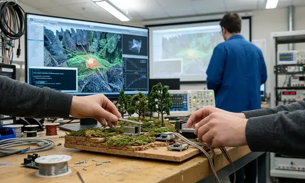
Engineers then add ground nodes where terrain, vegetation load, ignition history, or infrastructure demand faster verification. The minimum ground node payload requires specific environmental sensors.
- PM2.5 and PM10 particulate sensing
- Volatile organic compound (VOC) channel
- Ambient temperature and relative humidity
- Barometric pressure and enclosure temperature
- At least one thermal or infrared element with calibrated timestamps
A practical node reporting interval for fire-alert telemetry is 10 to 60 seconds. Local buffering for at least 30 to 120 minutes is critical so that cellular, radio, or satellite-backhaul interruptions do not erase the pre-ignition and ignition-transition record.
Important: Secure ingestion must require device identity, signed payloads or authenticated transport, UTC timestamps, sensor calibration metadata, and immutable raw-message retention before feature extraction.
Temporal Synchronization Protocols
Temporal alignment assigns every observation to UTC, preserving the native acquisition time. We then create a fusion grid at a fixed interval selected from the fastest reliable ground reporting rate. We preserve satellite scan start, scan midpoint, and product generation time as distinct fields because they differ during image collection and processing.
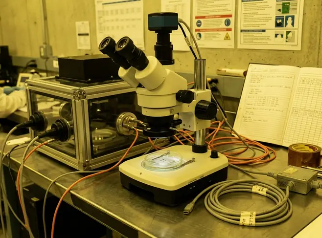
During systematic validation, a common operational fusion grid is 30 seconds, 60 seconds, or 5 minutes. The correct choice depends on whether the deployment emphasizes ignition detection, regional situational awareness, or dispatch confirmation. For ground telemetry sampled every 10 to 60 seconds, linear interpolation is defensible for slowly varying meteorological fields. Particulate spikes and VOC excursions should be aggregated with maximum, slope, and persistence features over 2-minute to 10-minute windows.
Latency management dictates the buffering protocols. A real-time buffer of 5 to 15 minutes absorbs ordinary satellite product arrival variance while still preserving alert timeliness for early-warning workflows. Late data processes through a correction path for model learning and post-incident review rather than silently overwriting already issued alerts.
Spatial Calibration and Georeferencing
Spatial calibration begins by georeferencing the satellite pixel footprint. We then assign each ground node to one or more overlapping raster cells using its surveyed location and elevation. ABI infrared fire-relevant pixels span kilometers at nadir and become larger toward the limb. Ground-node coordinates must be stored with horizontal accuracy metadata rather than assumed exact.
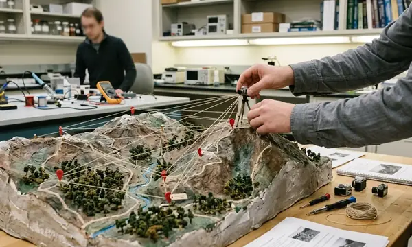
Ground sensors require precise surveying with GNSS coordinates, elevation, mounting height, enclosure orientation, and nearby obstruction notes. We need these fields to interpret plume arrival and line-of-sight thermal measurements. Digital elevation models with 10 m to 30 m horizontal posting are suitable for terrain-screening, slope, aspect, and viewshed features in many regional wildfire deployments.
Sub-pixel localization uses contextual thermal contrast, neighboring-pixel gradients, scan geometry, land-cover masks, and wind-driven plume direction. Claiming a precise ignition point from a single coarse thermal pixel is ineffective. A defensible spatial join stores the nearest pixel, the surrounding 3-by-3 pixel neighborhood, distance to pixel center, elevation difference, and whether terrain blocks direct line-of-sight between the node and the suspected anomaly.
Algorithmic Data Fusion and Weighting
The fusion model builds in stages. We first compute physically interpretable features from each sensor family, normalize them onto the shared time-space grid, and combine them with a model stack. Satellite features include brightness temperature in the shortwave infrared band, longwave thermal background contrast, neighboring-pixel anomaly score, cloud mask state, solar geometry, and recent change from the previous 5-minute to 30-minute scene history.
Ground features include PM2.5 and PM10 rate of change, VOC excursion over baseline, local temperature rise, humidity drop, wind direction alignment, and persistence across consecutive packets.
A practical model stack is a gradient-boosted decision model or calibrated logistic model for transparent alert scoring. We combine this with a temporal model such as a hidden Markov process, recurrent network, or temporal convolution when sufficient labeled sequences exist. Dynamic weighting shifts trust between satellite and ground sensors based on environmental conditions.
- Reduce satellite trust: During cloud contamination, high viewing angle, low sun-angle reflection risk, or missing scan segments.
- Reduce ground-node trust: During calibration drift, enclosure overheating, stale packets, or wind conditions that transport smoke away from the ignition zone.
Context dictates the baseline parameters. A coastal forest with a persistent marine layer needs heavier ground-sensor weighting than an inland dry shrubland with clear-sky geostationary visibility. Thresholding uses at least three states: monitor, investigate, and alert. We tune thresholds against verified incident logs and non-fire thermal sources rather than setting arbitrary confidence cutoffs.
False Positive Mitigation and System Limitations
False-positive control executes after the raw anomaly detector, not before it, so that suspicious thermal or particulate signals remain visible for review. The system first tags known ambiguity sources before applying suppression rules. Satellite ambiguity tags include cloud mask state, scan edge or limb geometry, low solar angle, high-reflectance surface context, recent snow or water adjacency, and abrupt single-frame thermal spikes without persistence.
Ground verification looks for multi-channel agreement. We require particulate increase, VOC deviation, local thermal trend, humidity change, and wind-consistent plume arrival within a 2-minute to 20-minute window. Low cloud, smoke above the ignition column, or scan-edge geometry can hide or dilute the satellite thermal signature while ground PM sensors show a real plume.
Industrial heat sources demand a maintained geofence layer containing plants, flare stacks, kilns, power infrastructure, and large paved surfaces. A refinery flare or kiln can produce a repeatable shortwave infrared hotspot. Without a maintained geofence and persistence logic, the system escalates a non-wildfire thermal source.
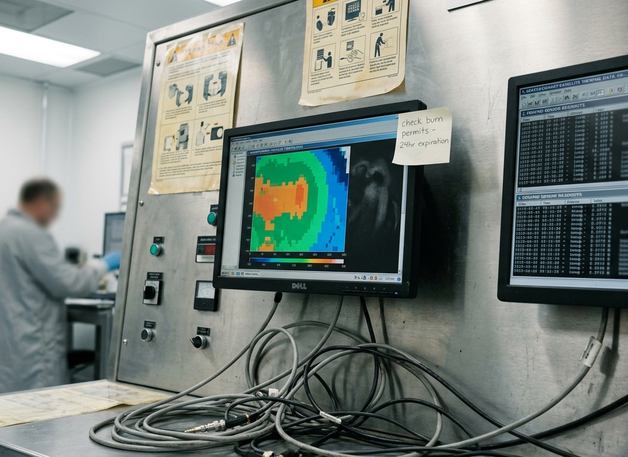
Agricultural and land-management burns require calendar, permit, land-use, and repeated-location context. The model downgrades routine known burns but keeps them reviewable because prescribed fire can escape containment. A non-fire suppression rule expires after a defined period, such as 6 to 24 hours, unless refreshed by authoritative context data or repeated sensor evidence. Note that terrain-heavy deployments with sparse ground nodes can still miss early smoke confirmation when wind carries the plume away from the nearest sensor line, even if the satellite anomaly is real.
Validation Framework and Field Testing
Validation proceeds from controlled burns to retrospective incident replay and then to monitored live deployment. The evaluation team first defines ground-truth boundaries and ignition timelines. Controlled burn validation records ignition time, ignition coordinates, fuel type, burn perimeter, wind speed and direction, humidity, suppression actions, and observer logs at 1-minute to 10-minute granularity.
Retrospective replay preserves original product latency and packet arrival order. Using cleaned final datasets alone overstates real-time performance. Ground truth comes from fire agency incident reports, burn permits, field observer notes, perimeter mapping, aerial reconnaissance, and post-incident satellite or aircraft imagery where available.
Field Note: Model retraining requires versioned datasets, locked validation splits by geography and season, and a dedicated review queue for ambiguous non-fire heat sources.
A practical post-deployment review cycle is weekly during high-risk periods and monthly during lower-risk periods, with immediate review for any alert that prompted field dispatch. Stop treating satellite and ground sensors as competing alerting mechanisms. Deploy them as a single, tightly coupled verification loop. Force your fusion architecture to evaluate ground telemetry and orbital thermal data within a strict 5-minute synchronization window, and hardcode your suppression rules to require multi-channel agreement before escalating an alert to dispatch.
Academic Sources
The reference base prioritizes institutional documentation for sensor specifications and data formats, followed by peer-reviewed remote-sensing literature for fire detection theory, and agency validation protocols.
- National Oceanic and Atmospheric Administration and National Aeronautics and Space Administration. GOES-R Series Data and Imagery Standards. Current public revision accessed for ABI band definitions, scan modes, product structure, and metadata fields.
- National Oceanic and Atmospheric Administration. GOES-R Advanced Baseline Imager documentation. Public technical material accessed for the 16-band ABI design and geostationary imaging cadence.
- United States Forest Service. US Forest Service Research Data Archive. Protocols for Ground-Truth Validation in Remote Sensing. Public technical material accessed for ground-truth comparison, burn documentation, and field validation practices.
- Giglio, L., Schroeder, W., and Justice, C. O. Peer-reviewed work on active fire detection and contextual thermal anomaly screening, used for background on thermal contrast methods and false alarm controls.
- Schroeder, W., Oliva, P., Giglio, L., and Csiszar, I. A. Peer-reviewed work on VIIRS and satellite active fire detection methods, used for methodological grounding on thermal anomaly detection and validation logic.




Discussion
No comments yet.