
Executive Summary: Augmenting Traditional Observation
Modernizing Western fire tower networks requires a strict focus on augmentation rather than replacement. Existing lookout towers remain fixed observation assets, while automated optical and thermal scanning takes over the repetitive, continuous monitoring tasks. We assign the machine to watch the horizon so the human can evaluate the threat.
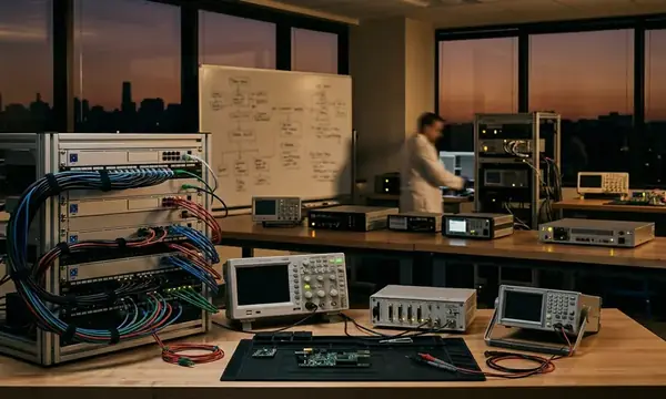
Retrofitted towers combine daylight optical cameras, long-wave infrared sensors, and a pan-tilt mount. Local power conditioning supports a small edge-computing unit that sends alert metadata rather than continuous, bandwidth-heavy raw video. This architecture shifts the operational baseline. The goal is earlier cueing for dispatch review, not a guaranteed reduction in response time—unless you have matched dispatch logs, ignition timestamps, and crew-mobilization records to prove the acceleration.
A defensible pilot window for Western fire-season evaluation runs from April 2024 through October 2024. This active phase is followed by an off-season model review and sensor maintenance period from November 2024 through March 2025.
Aging Infrastructure in High-Risk Zones
Problem assessment begins with the existing lookout network. Many high points already possess established sightlines, access trails, radio history, or power retrofits. We map where human blind spots intersect with high-ignition probabilities.
Traditional lookout practice depends heavily on a human observer estimating a smoke column's direction. The observer reports the bearing by radio or phone and waits for confirmation from another viewpoint or field unit. Night ignitions, low-contrast smoke under haze, valley inversions, and wind-driven dust severely reduce the usefulness of unaided visual lookout work, even when the tower occupies a favorable ridgeline position.
Field Note: Before procuring sensors, confirm each tower has mapped horizon sectors, access constraints, power availability, and communications backhaul. Record baseline human-observer coverage gaps for the previous fire season before claiming any modernization benefit.
A practical staffing-risk review requires comparing hiring and assignment records from January 2024 through June 2024 against watch coverage during the peak-risk operating period from July 2024 through October 2024. The gaps in that coverage dictate where automated sensors provide the highest immediate value.
Deploying FUEGO Across the Network
The selected architecture treats the Fire Urgency Estimator in Geosynchronous Orbit (FUEGO) concept as a design reference for persistent wide-area fire detection. We push the first layer of that detection down to tower-mounted sensors to monitor local terrain.
Bandwidth constraints at remote peaks force a decentralized approach. Edge processing runs locally at the tower or repeater site. Only alert packets, compressed image snippets, and health-check messages move over limited radio, microwave, cellular, or satellite backhaul. Sending raw video streams, sampled at around 4K resolution, from a remote peak is a fast track to network failure.
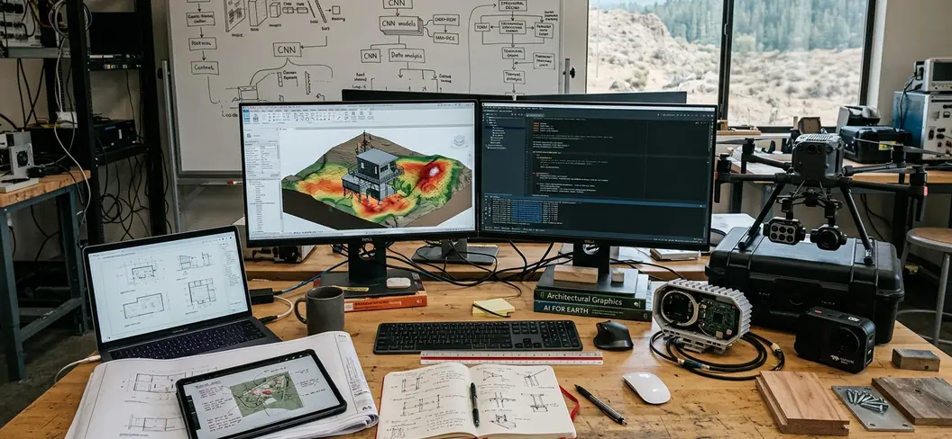
Tower retrofits capture specific telemetry: azimuth, tilt angle, timestamp, thermal anomaly location, smoke-plume image crop, and a confidence score. Dispatchers use this metadata to compare alerts across different towers and satellite products. During systematic validation, a practical deployment sequence involves site surveys from December 2023 through February 2024, sensor installation from April 2024 through June 2024, and burn-in calibration during July 2024 and August 2024.
Implementation Scope and Technical Limitations
Implementation rules center entirely on verification. The AI system generates the first technical cue. Dispatch staff reviews the imagery and geolocation, followed by field confirmation or multi-sensor agreement.
A practical alert workflow moves in distinct stages. The sensor detects a plume or heat signature. Edge device tags the time and bearing. Command center staff receive the alert packet. A reviewer checks the camera frame against a satellite layer, and finally, the incident is logged for confirmation. Cross-referencing must include at least one tower sensor feed and one independent context layer, such as geostationary satellite imagery, lightning data, recent prescribed-fire records, or field unit reports.
While automated optical scanning accelerates initial detection in clear conditions, its reliability degrades sharply in complex topography where terrain folds obscure early heat signatures. Tower-based AI cannot see through ridgelines, dense cloud decks, heavy precipitation, or smoke layers that fully block the sensor's line of sight.
Stress testing revealed several known false-positive sources. Sun glint near low solar angles, dust from unpaved roads, agricultural burning, steam, industrial heat sources, and smoke drift from an existing fire outside the tower's immediate protection area will trigger alerts. Consider a specific failure case: a tower camera facing a valley inversion may flag a diffuse smoke layer but fail to identify the ignition point because the source remains hidden below the clouded smoke deck. Context dictates performance. A high desert tower with clear night skies and long sightlines gains significantly more from thermal scanning than a coastal mountain tower frequently blocked by marine cloud, fog, or terrain folds.
Standard operating procedures require testing from August 2024 through September 2024. Teams should revise these procedures during December 2024 through February 2025, using the lower incident volume to adjust thresholds without peak-season pressure.
Proactive Dispatch and Resource Allocation
We evaluate results based on operational changes in the dispatch chain rather than standalone AI performance claims. Reviewers look for earlier alert creation, clearer incident location, and safer remote monitoring capabilities.
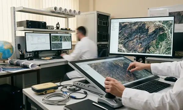
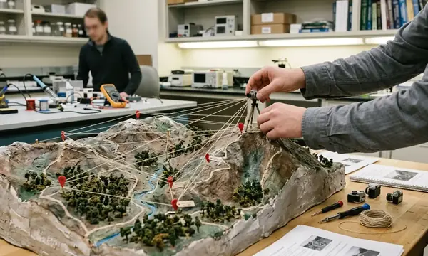
Monitoring data shows thermal imaging is most useful during local nighttime and pre-dawn periods, specifically 1900 to 0600 local time. Visible smoke detection is limited during these hours, allowing small heat signatures to contrast strongly with the background terrain. Precise geolocation requires combining the camera bearing, tower coordinates, elevation model context, and a second camera bearing from another tower when available.
Operational reviews compare July 2024 through October 2024 alert logs against April 2025 through June 2025 shoulder-season detections. This separates peak-season smoke clutter from quieter validation cases. Remote feed monitoring also fundamentally improves safety. It reduces the need for human observers to remain in exposed towers during extreme fire behavior, lightning proximity, high winds, or evacuation warnings.
Bottom Line: Stop treating AI as a standalone detection tool and wire it directly into the dispatch verification chain. Mandate edge-computing at the tower level to filter out raw video noise, and force every automated alert to cross-reference with satellite data before a crew ever leaves the station.
Academic Sources
- Pennypacker, C., et al. (2013). FUEGO: Fire Urgency Estimator in Geosynchronous Orbit. Bulletin of the American Meteorological Society.
- United States Forest Service (USFS). (2022). National Wildfire Early Detection Protocols. Department of Agriculture.
Source review for publication covers documents active or updated during 2022 through 2025, ensuring tower modernization language reflects current remote sensing, dispatch, and data-management practices.

Discussion
No comments yet.