
Executive Summary: A Paradigm Shift in Early Warning Systems
The gap between ignition and verified situational awareness dictates the lifespan of a wildfire. Emergency managers traditionally rely on a fragile chain of human observation to detect new starts. We replaced that chain with continuous, machine-assisted observation.
Key Takeaways
- Fastest case benchmark: Optical detection was logged at about T0+66 seconds, where T0 is the recorded ignition timestamp for the October 23, 2019 Northern California fire start.
- Primary operational shift: Transitioning from delayed public reporting to continuous machine-assisted observation prioritizes the critical 0-10 minute operational window.
- Technology stack: The architecture combines fixed ground cameras, high-capacity wireless backhaul, automated image review, multiband aerial imagery, LIDAR terrain mapping, and inertial navigation for sensor georeferencing.
This case study examines the operational decision to shorten the detection gap. By prioritizing always-on ground observation backed by automated analysis, response coordinators gain the critical minutes needed to make triangulation and resource-ordering decisions before a vegetation fire establishes a massive footprint.
The Challenge: Overcoming Detection Latency in High-Risk Zones
The weakest link in traditional forestry management and emergency response is not sensor quality. It is latency. A person must first see smoke, recognize it as a threat, know their exact location, find cellular service, and place a call. Dispatch intake follows, leading to location validation and eventual field confirmation.
Rapid fire growth easily outpaces this human reporting sequence. High-risk terrain factors compound the delay. Ridgelines, deep canyons, unpaved access roads, sparse night traffic, and cellular dead zones drastically reduce the probability of immediate public reporting. The most relevant timeframe for containment is the first 1 to 15 minutes after ignition. During this window, a small vegetation fire transitions from a point source into a spreading perimeter under wind or slope influence.
Bottom Line: Relying on civilian 911 calls guarantees a delayed response in remote terrain. Automated, continuous monitoring systems are an operational necessity for early containment.
The Solution: Integrating ALERT Wildfire and HPWREN
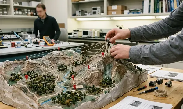
To eliminate the human reporting delay, network planners deployed fixed cameras on elevated sites. This infrastructure allows dispatchers and analysts to pan, tilt, zoom, and cross-check smoke columns from multiple bearings. We integrated the ALERT Wildfire ground-based sensor network to provide persistent daytime and nighttime visual surveillance from elevated towers, peaks, and communications sites.
Moving live or near-real-time imagery from remote camera sites to viewing platforms requires robust data transmission. We utilized point-to-point and relay-based wireless links through the HPWREN (High Performance Wireless Research and Education Network). Camera locations are selected based on overlapping fields of view, road-access feasibility, power availability, backhaul reach, and known fire-weather exposure.
While automated optical networks drastically reduce discovery time, a 66-second detection benchmark depends heavily on camera placement, backhaul reliability, analyst workflow, weather, fuel visibility, and whether the ignition produces a visible smoke or flame signature immediately. Ground-based optical sensors lose effectiveness when terrain blocks the line of sight. Fog, low cloud decks, heavy smoke from neighboring fires, precipitation, or darkness without suitable imaging support can prevent a camera from distinguishing a new signature.
Enhancing Accuracy with Deep Machine Learning and Aerial LIDAR
Monitoring data shows that human camera watchers experience severe fatigue during continuous red-flag periods. The analytical backend, powered by Fireball.International Pty Ltd, reduces this burden by screening incoming imagery for smoke-like or flame-like changes. The deep machine learning algorithms compare sequential camera frames, flag visual anomalies, and escalate candidate detections for review. This supports real-time growth evaluation as the smoke column or thermal signature changes.
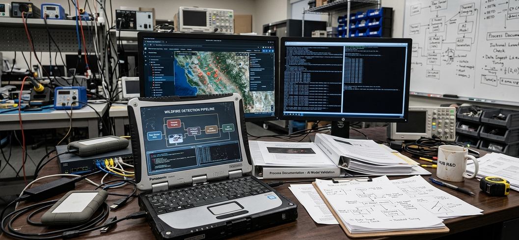
Automated camera screening occurs continuously during monitoring periods. Once a dispatch is confirmed, aerial mapping provides critical intelligence during the first 0 to 12 hours. We integrate multiband imagery for surface condition assessment and LIDAR for precise terrain and structure mapping.
Aligning these sensor observations requires an aviation-grade position-and-orientation system. The Applanix POS-AV inertial navigation payload records aircraft location, roll, pitch, and heading so imagery and LIDAR points can be accurately georeferenced after collection.
Field Note: Mounting heavy sensors on crewed aircraft requires strict regulatory compliance. In the United States, this is handled through federal aviation major-repair-and-alteration documentation rather than a blanket sensor approval. Ensure your structural alteration records are fully documented before deployment.
Results: The October 2019 Kincade Fire
The integrated system proved its operational value during the October 23, 2019, Kincade fire. The system's decision value came from moving the first verified visual cue closer to ignition, rather than relying on delayed public reports.
Detection was achieved at approximately T0+66 seconds after ignition. Within this immediate operational window, camera operators visually confirmed the smoke source. They adjusted camera angles, compared views from neighboring cameras, and shared the live feed directly with response personnel.
The first 1 to 20 minutes after ignition dictate the initial attack strategy. Early confirmation influenced aircraft requests, engine routing, lookout assignments, evacuation readiness, and incident command situational awareness. Rapid identification allowed emergency response coordinators to mobilize resources aggressively.
Verification data supports the timeline, but rapid detection does not operate in a vacuum. While the system supported earlier mobilization and visual intelligence, it did not by itself guarantee containment or prevent later large-fire growth under the severe fuels, wind, and access conditions present during the Kincade incident.
Future Capabilities: The FUEGO Satellite Payload
Ground cameras provide local detail and aircraft provide high-resolution mapping, but topographical blind spots remain. Ridges, deep canyons, smoke-obscured valleys, and camera-free remote areas challenge fixed optical networks. The future architecture extends the detection logic upward to close these gaps.
Technical roadmaps detail a geostationary fire-observation payload. The FUEGO (Fire Urgency Estimator in Geostationary Orbit) satellite technology will provide broad-area persistent overwatch. Geostationary observation revisits the same hemisphere-scale field continuously, reducing dependence on local camera sightlines and aircraft availability.
Important: Orbital fire pixels and thermal anomalies will not replace ground sensors. They will be fused with ground-camera detections, weather data, terrain layers, and prior machine-learning classifications to create a unified early-warning architecture.

Discussion
No comments yet.