
Satellite Monitoring
Analysis of global satellite imagery integration for macro-level wildfire tracking and prevention.
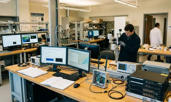

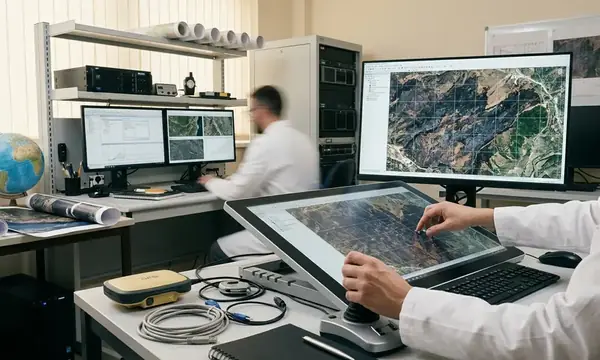
Transitioning from raw orbital data to operational intelligence requires rigorous validation against ground truth. Incident commanders cannot afford the latency of manual image interpretation when canopy temperatures spike.